Extreme Taboga: A Timed Hiking Trial
September 8, 2010
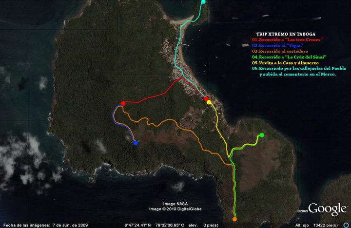
7:00 am on Saturday: the city was just starting to stir for the day, but we were already headed to the dock to catch the ferry to the paradise island of flowers. When we got there we found a huge line of people; the buzz of different conversations filled the air of that beautiful morning. We bought our tickets and got in line; the boat left right at 8:00 am. The ride was pleasant, the sea calm and the sun not yet burning; it took us fifty minutes to arrive, and seagulls kept us company almost the whole way, thanks to a few kids tossing them crackers and bread.
We arrived and headed to the house, where we immediately dropped off our bags. This time the plan wasn’t the beach but hiking; my friend and I had already planned it out — we’re both in good shape, but I wanted to find out how long each route would take us, how much recovery time we’d need, and how much we could actually handle.
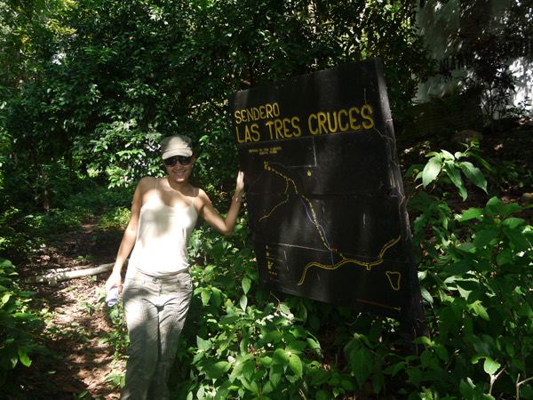
Our first goal was Las Tres Cruces, a small park with three concrete crosses that tell part of the island’s story. We walked through the town’s narrow streets and reached a nearly destroyed sign telling us we were on the right track (9:22 am); we started the climb, which wasn’t too steep — the real problem is that, without realizing it, you end up inside a tunnel of vegetation that makes it almost impossible to breathe. The humidity is intense and the heat stifling, and this was barely nine in the morning. We covered this stretch in about forty minutes (9:57 am); we rested three times at different points, but tiredness was already showing on my friend’s face — she had all the strength in the world, but the air, heat, and humidity wore her down. My own fatigue was lower — I’d already done this route and knew where to push, where to stop, and how to pace my breathing — but if I plan on leading a group, I need to keep in mind that several rest stops are needed, not just three, since you never know what shape the participants might be in. The last stretch of the climb is much steeper than the rest of the route; we reached the park and sat on the benches for about fifteen minutes (10:16 am), when a University of Panama tourism group caught up with us, about to do the same hike. We split off from that group and headed toward El Vigía, the island’s highest point, sitting a bit over three hundred meters above sea level.
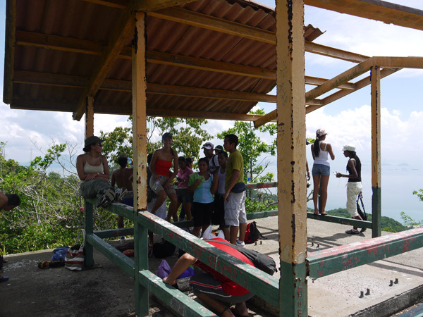
This next stretch is less punishing: we came out onto the road, the air is less humid and there’s a breeze; it took us about twenty more minutes (10:36 am) to reach this point. Up there is a World War II bunker, where weapons were once placed to defend the canal, plus a beautiful view of Panama City and the town of Taboga; there’s also an antenna that welcomes planes arriving at Tocumen airport. We rested much longer this time, since the students caught up with us again and we chatted with them; we started our descent at 11:30 am, and by then the sun was becoming a real problem, on top of the fatigue we already had. We came down along a road, but now the lack of trees was working against us; the heat became unbearable and my friend didn’t even want to talk to me anymore, and we still had two more spots to cover.
By the end of the descent my feet couldn’t take any more; our clothes, caked in dust mixed with sweat, told me I’d planned too much. I imagined what the Ecochallenge participants would have to go through, and what would be going through their minds once the blisters had blisters from all that walking. I still had some strength left, but a bit of a headache from the harsh sun was telling me to leave part of the route for another day. We reached the base of the hill at 11:51 am, close to lunchtime — we’d had breakfast just before reaching the dock, at 7:00 am — and we made another tactical mistake: too little water, just two bottles, one each. That vital liquid ran out right at the top of El Vigía.
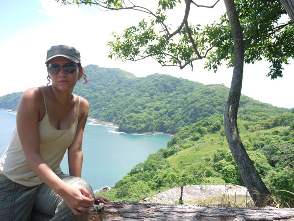
We headed toward the trash-dump lookout (sounds ugly, but it has a spectacular, rarely visited view); my friend was already a bit annoyed and asking to head back home. I offered to stop the route at these three points, even knowing there was one more stretch left: climbing up to the Cruz del Sinaí. As the article’s title says, the outing was extreme, and I hadn’t misled her — I’d put together a map of the whole route for her, but seeing it on paper is one thing and knowing where you’re actually headed is another. We reached the third point at 12:15 pm; we rested a good while in the shade of some trees to see if she’d work up the strength for that last stretch, but no matter how much I tried, she was already spent — and honestly, so was I.
The stretch we couldn’t finish was the Cruz del Sinaí, another high point visible from the dock; it’s about a 13-minute climb without stopping, with not a single tree along that hill and nowhere to rest, and with the midday sun it was going to be very tough to pull off.
We got back to town pretty exhausted and sat down for lunch. It was a truly extreme morning as far as hiking goes; I concluded that it takes two days to cover it all — one up to “El Vigía,” passing through “Las Tres Cruces,” and another climbing up to “La Cruz” and then to the dump lookout. The rest of the weekend was beach, breeze, and sea.